-40%
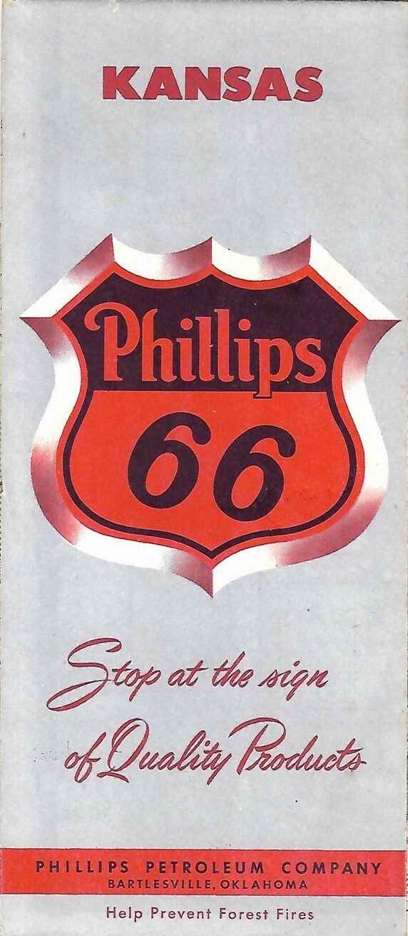


1957 PHILLIPS 66 Road Map KANSAS Wichita Topeka Salina Airports Route Numbers
$ 4.21
- Description
- Size Guide
Description
Handsome fold-out 1957 Phillips 66 road map of Kansas, printed more than 60 years ago.Opens to 18" x 26½"
Great detail on old highway alignments and route numbers
Also shows road surfaces, airports, fish hatcheries, county boundaries, and points of interest
Cartography by H.M. Gousha
On the reverse side there's a road map of the transcontinental United States and inset plans of Hutchinson, Topeka, Wichita, Salina, and Kansas City.
Map published in 1957 by the Phillips Petroleum Company of Bartlesville, Oklahoma
It is dated in the legend. The code number in the lower margin is : 8-EE. Population data is from the 1950 census.
Condition:
The map is in very good condition, bright and clean, with
no
rips, tears, or writing. Please see the scans and feel free to ask any questions.
Buy with confidence! We are always happy to combine shipping on the purchase of multiple items — just make sure to pay for everything at one time, not individually.
Powered by SixBit's eCommerce Solution